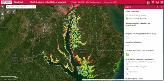
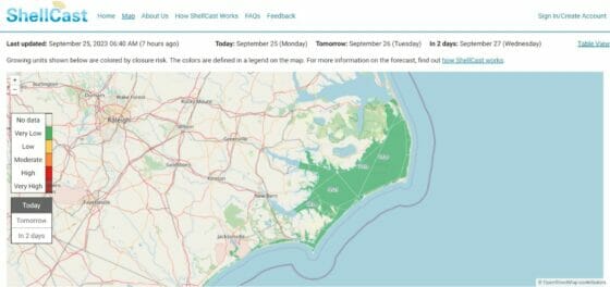
Harvesting Shellfish? Get the App
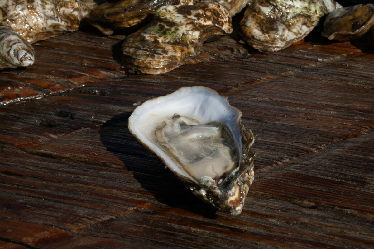
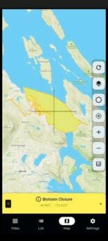
Toxins, pollution and invisible boundary lines are obstacles to harvesting bivalves such as clams and oysters. A new cohort of cellphone and web apps promises to help people farm and harvest shellfish more responsibly.

Shellfish Greater Sense Of Well-being